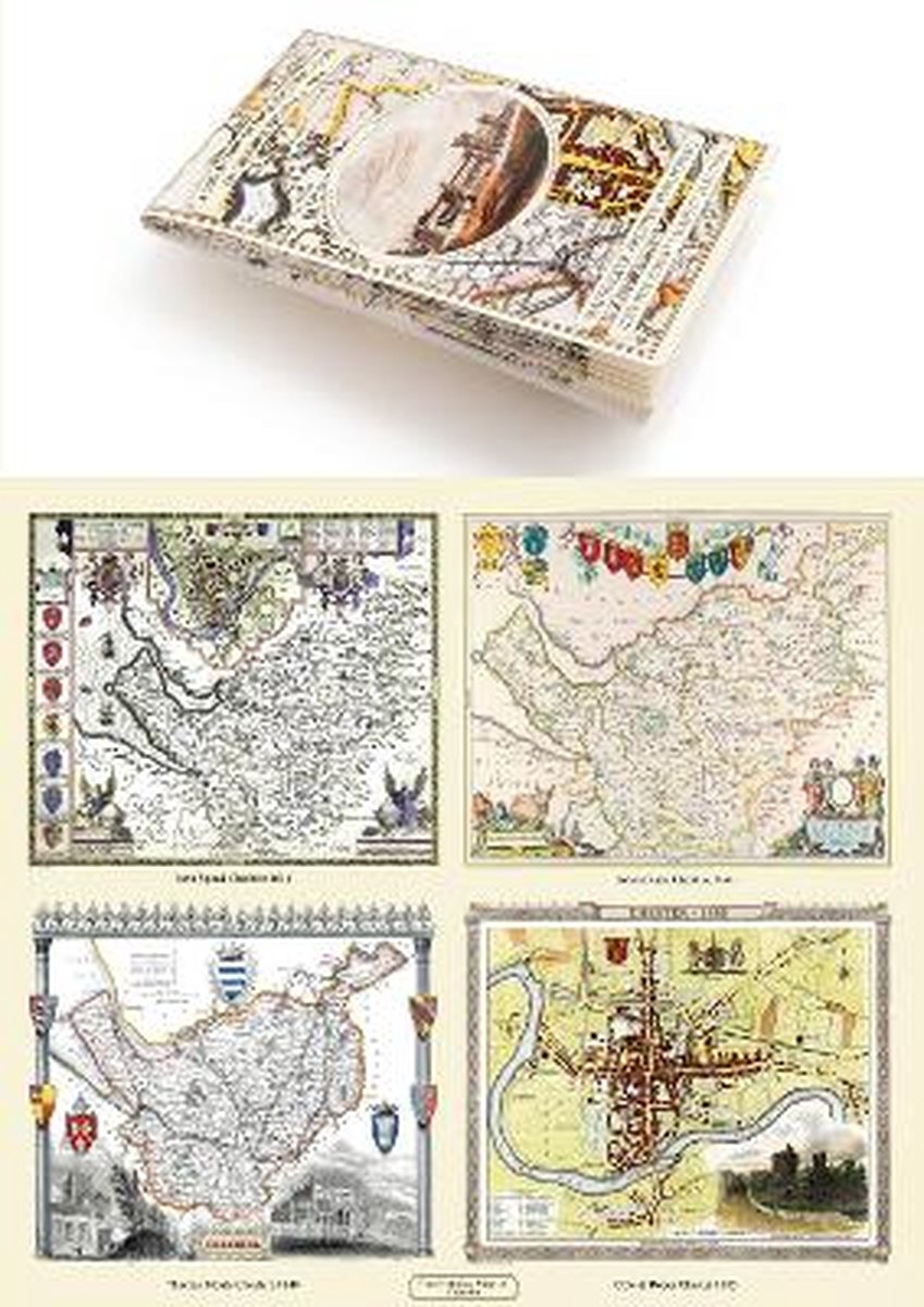
A Cheshire 1611 - 1840 - Fold Up Map That Features A Collection Of Four Historic Maps, John Speed's County Map 1611, Johan Blaeu's County Map Of 1648, Thomas Moules County Map Of 1840 And Cole And Roper's Plan Of The City Of Chester 1805.
Het boek A Cheshire 1611 - 1840 - Fold Up Map That Features A Collection Of Four Historic Maps, John Speed's County Map 1611, Johan Blaeu's County Map Of 1648, Thomas Moules County Map Of 1840 And Cole And Roper's Plan Of The City Of Chester 1805. is 1 maal gevonden, 1 maal nieuw en 0 maal tweedehands. "A Cheshire 1611 - 1840 - Fold Up Map That Features A Collection Of Four Historic Maps, John Speed's County Map 1611, Johan Blaeu's County Map Of 1648, Thomas Moules County Map Of 1840 And Cole And Roper's Plan Of The City Of Chester 1805." is nieuw te koop vanaf € 26,99 bij Bol.com.
Omero.nl is druk bezig om informatie over auteurs toe te voegen. Neem contact met ons op via support@omero.nl om een auteursprofiel aan te maken met een foto, biografie, website adres en sociale media links.